Copernicus Marine Arctic MFC PHY_ICE: Validation of sea ice concentration
Validation based on SSMI satellite data
Validation data: N. hemisphere OSI SAF sea ice concentration
Validation of the ARC-MFC PHY_ICE model results for sea ice concentration uses the SEAICE_GLO_SEAICE_L4_NRT_OBSERVATIONS_011_001 SSMI/S data as the observational reference. This product has an effective resolution of about 25 km. Note that these data are part of the operational product that is assimilated by the ARC-MFC PHY_ICE model, so the validation results provided here are not using independent data. This OSI SAF product covers the entire region with ice infested waters in the northern hemisphere.
Regions
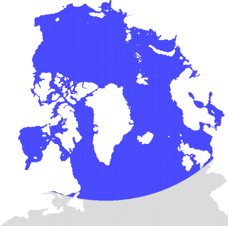
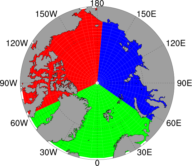
The regions for which validation results are considered, are displayed in the maps below. Note that a limited southern extent in the configuration of the ARC-MFC PHY_ICE configuration makes the model domain somewhat smaller than the validation map indicated for the full domain (left panel), and also doesn't completely fill the Atlantic sector (right panel).

|

|
| Full domain |
Arctic sectors: 65°W - 55°E (green sector, European/Atlantic) 55°E - 175°E (blue sector, Asian) 175°E - 65°W (red sector, American) |
ARC-MFC PHY_ICE (neXtSIM)
The model results are produced with the neXtSIM stand-alone sea ice model running the Brittle-Bingham-Maxwell sea ice rheology on an adaptive triangular mesh of 10 km average cell length. neXtSIM is forced with surface atmosphere forcings from ECMWF and ocean forcings from the ARC-MFC PHYS NRT system. neXtSIM runs daily, assimilating OSI-SAF sea ice concentrations (SSMI and AMSR2) from the SI TAC and provides 9-day forecasts. The adaptive Lagrangian mesh is interpolated for convenience onto a 3 km resolution regular grid in a Polar Stereographic projection.
